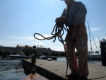
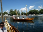
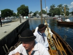
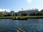
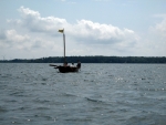
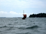
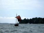
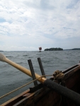
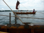
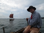
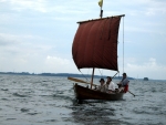
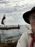
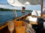
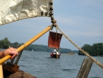
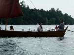
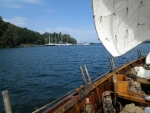
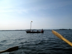
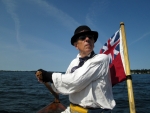
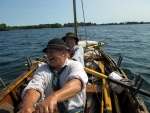
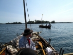
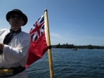
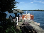
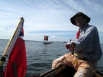
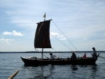
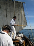
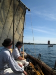
Also known as ‘The Big Row, 2017’
Photos were taken by Peggy Huckel and Bill Manthey, and are copyright by the person who took them. Text is by myself, David Manthey.
Monday, 14 August 2017 – Rideau Acres Campground, Kingston
This year’s Big Row roughly parallels that of 2010 where we started at Cape Vincent and rowed to Ogdensburg. This year, however, we’ll be entirely on the Canadian side of the Saint Lawrence River. Our goal is to start at Kingston and row to Prescott in time for Loyalist Days.
Originally I had wanted to start at Bath, as we have enjoyed events there. However, the distance from Bath to Prescott was slightly longer than I was comfortable with. The decision to start at Kingston was made when this spring had significantly high water on Lake Ontario. Parks Canada closed a number of islands in the 1000 Islands National Park, including a few I had intended to camp on; starting at Kingston could still work, so that became the plan.
We have seven rowers this year, all veterans of previous Big Rows: Kevin, Reb, Bill, Peggy, Rick, Judy, and myself. Based on weather predictions I decided that we would be able to handle both boats – this is a risk, of course, as it could be more than we can handle. However, it is more fun with two bateaux, plus much roomier and in some ways easier.
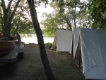
I had reserved a campsite just north of Kingston at Rideau Acres Campground. It is a large, nice, commercial campground around 10 miles from where we’ll start the row. We ended up with a pleasant site right on the shore Colonel By Lake. Everyone had arrived by 7:30 p.m. We had a simple dinner of hotdogs and chips. Since we have to trailer to the launch site, it seemed too hard to load the boats at the campground, so we put that off until morning.
Tuesday, 15 August 2017 – McDonald Island
We woke early enough, but we had a very slow start. Unusually, our charcoal braziers were very slow to get going. We made coffee, and started frying bacon. The bacon was taking a very long time, and I, at least, felt the itch to pack up and get going.
We struck camp, and still our bacon wasn’t cooking much. Eventually, we decided that we would skip cooking breakfast, and instead get ready to launch. We dispatched Judy, Bill, and Reb to pick up a store-bought breakfast on the way to the launch site. The rest of us checked out of the campground and drove to the marina.
Our launch site was the Portsmouth Olympic Harbor Marina. I knew they had a good concrete ramp, charged a modest fee, and allowed overnight parking. What I didn’t know was that the Cork sailing regatta was conducting races today. Somewhere around four or five hundred competitors were launching small boats to race.
We ate a lousy breakfast as we readied the boats. We loaded and packed the bateaux on the trailers, as there was a hive of activity on the boat launch. By the time we were ready to launch, the regatta participants were launching boat after boat after boat. Since they had a fixed schedule and the wind was slated to be favorable, we bided our time, though I wasn’t particularly patient. If we hadn’t been waiting to use the available wind, it would have been a pure a delight to watch the hundreds of small boats launch one after another.
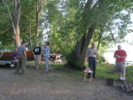
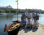
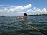
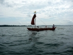
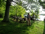
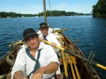
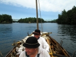
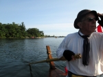
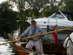
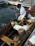
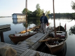
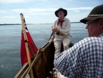
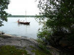
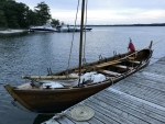
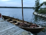
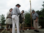
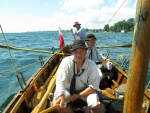
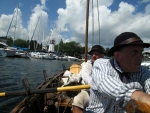
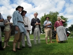
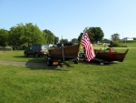
Finally we were able to launch around 11 a.m. This was later than I hoped, and I feared that it would prevent us from getting to where we wanted to go today. We had a friendly woman take a picture of our group before we set out. The DeSager was crewed by Kevin, Judy, and Reb. The Bobbie G had Rick, Peggy, Bill, and myself.
Initially, we rowed. The wind wasn’t particularly useful, being fluky and from landward. Also, in loading the boats I had put up the masts and rigged the halyards, but had not rigged out the brace and sheet lines.
We could see fleets of small boats involved in the regatta in several directions. I assumed each fleet was participating in distinct races. We didn’t get particularly close to any of them.
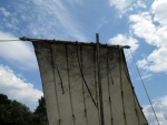
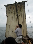
After half an hour or so, each boat rigged out the braces and sheets. I returned to steering, and Bill hoisted the sail. This was more arduous than it should have been. On the Bobbie G, we had one of the old laminated oak masts, as we had not yet made a replacement for the Douglas fir mast that broke last year. The deadeye at the top of the mast had become very rough. Bill had to put his full weight into the halyard, and eventually the sail went up.
Almost immediately, the starboard brace parted. This was unexpected – each line took my full weight just a month ago, and the wind forces weren’t anything close to that. We doused sail, and I went forward to affix a new sheet.
Once again, Bill started hoisting the sail. Now, the halyard was chafed through the bad deadeye. Between the chaffing and unexpected decay, the halyard parted. The yard dropped down, fortunately without hitting anyone, and fell on the larboard side of the boat. Rick and Bill wrestled the sail into the boat.
This time, I replaced the halyard with a new half-inch line. I unstepped the mast, tried to make the deadeye less rough, reeved the halyard, and restepped the mast. Hoisting delicately, I decided that with the new line the deadeye would serve. We were finally sailing.
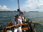
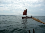
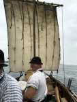
During this time, which was probably 15 or 20 minutes, the DeSager naturally pulled ahead of the Bobbie G. No matter; we were both sailing, if not particularly fast. Bill used the whisker boom to try to shape the sail better.
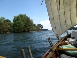
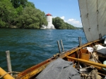
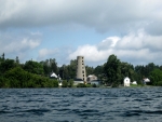
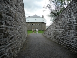
We passed by Fort Henry and several Martello towers. The Martello towers are distinctive round gun platforms dating from the early 19th century. The all seem to have roofs over them, which I don’t think they would have had originally. By any measure, we were now in the Saint Lawrence River and out of Lake Ontario.
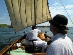
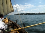
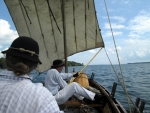
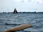
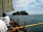
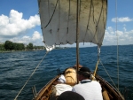
Now that we had the sailing lines fixed and the sail up, we were sailing tolerably well. Depending on the exact point and strength of the wind, sometimes the DeSager was faster than us and sometimes we were faster than her.
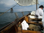
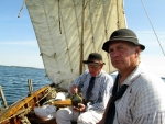
We ate lunch while under sail – the usual collection of sausages and cheeses, plus lots of produce: cucumbers, peppers, grapes, and more. We had cookies and shrub.
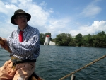
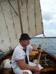
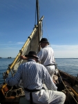
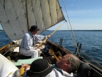
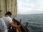
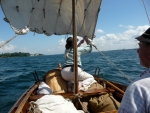
Bill looked very awkward on the whisker boom, sometimes crouching or standing. It appeared very uncomfortable, though he claimed he was okay. Rick took over managing the boom and at least made it look less contorted.
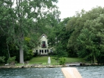
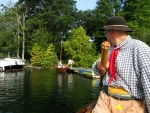
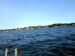
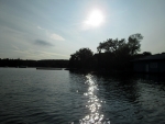
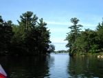
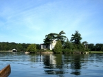
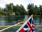
We passed many fabulous camps and homes. The area is gorgeous, and it is easy to see why it is a favored summer area. Even with the recent high water, most of the shore looked inviting and idyllic.
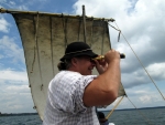
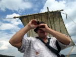
Rick had a small spyglass that made things appear larger. I’m not wholly convinced that it increased the resolution of distant objects, but it was a pleasant diversion when trying to discern faraway items.
The wind was a bit variable and plenty strong. It veered and was often from the starboard beam. Both boats sailed remarkably well for a beam wind. I don’t think DeSager has ever sailed better on the beam, to which I credit some of Judy’s experience. The Bobbie G could have gone faster with a taller mast, but we only had the old short mast. This made seeing difficult at times.
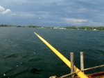
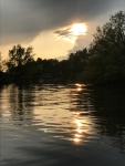
As the afternoon progressed, the wind was stronger and took more steering and whisker boom handling. To the north and west dark clouds gathered and we could see distant rain. We could see occasional lightning in the distance. For a long while it looked like it would stay on the north shore and not get very near to us.
The sky started to look ominous as we reached the far end of Howe Island. We cut between the ferry spit and Redhorse Island, and our destination was in sight. As we headed straight for McDonald Island, the sky was getting darker and darker, and we were getting worried about lightning. If the dock at McDonald had not been visible from the small island (Idlewyld?) before it, we would probably have stopped there to get off the water before the storm arrived. We stuck it out the few hundred more yards.
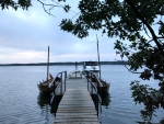
The first dock at McDonald Island was officially closed by Parks Canada due to the recent high water. Since a storm was rolling in, we didn’t worry about this – we just pulled up to the dock, tied up the boats, and went to shore. Just as we arrived at the small self-register pavilion, the heavens opened with a strong cool rain.
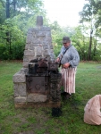
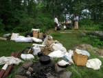
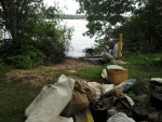
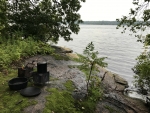
It was delightful to be under shelter for this, though some of the rowers ventured out to use the privy. We waited until the downburst was over, then started unloading the boats. We left the cooking gear at the landing site, as there was a fireplace there, but moved all of our tents and sleeping gear to the campsite I had reserved. The island had a small garden cart to help move gear, and we happily took advantage of this.
We moved the boats to a second dock that was open. We talked with a few people who were either camped elsewhere on the island or spending the night in their docked boats.
Dinner was Kevin’s chicken with onion sauce, plus an excessive amount of rice with spinach. It was good and we were hungry. As often, we went to bed as soon as light faded.
Total distance for the day, around 19.1 miles.
Wednesday, 16 August 2017 – Grenadier Island
This morning we got underway tolerably quickly. We had a breakfast of eggs and sausage, plus some leftover bacon that had been half cooked yesterday. We packed up camp and reloaded the boats. We left the dock just after 8:30.
Today there were light to medium headwinds all day – ranging from just a few miles per hour to a bit stronger. This was enough to more than offset any beneficial effects of current. It would be a day of rowing.
We passed Gananoque from a distance.
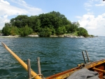
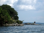
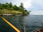
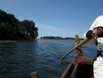
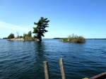
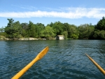
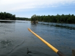
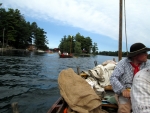
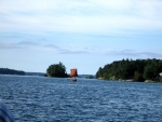
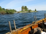
Throughout day, we passed small island after small island. Each had its attraction. Most had houses, many of which were beautiful. There were some lovely gardens. There were many boathouses, some well-kept and useful, others neglected and rotting.
The wind was pleasant, even if it was in the wrong direction. The day was sunny, and therefore rowing was warm work. The wind cooled us a little, but we all ended up a little baked at the end of the day.
We took turns steering and rowing. When under oars, typically steering is easier than rowing, whereas under sail, it is often the greatest effort.
As we approached Landon’s Bay, I steered hard to the right to make sure we didn’t go into the bay rather than stay on the river. This was probably premature, as I think we ended up going on the southeast side of Stave Island, so perhaps added some unneeded distance to our day.
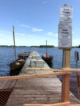
Around 1 p.m. we were nearing Mulcaster Island. This would make a fine half-way stop for lunch and a necessary break. I knew that Mulcaster Island had two docks. The first was obviously for the campsite on the island. The campsite had been closed earlier in the season due to high water, though it was now open. We went by this dock. The further dock was for the day-use area, and it was still officially closed. It had a sign on it saying that anyone that used the dock risked getting a $10,000 fine. This was deterring, but the crew had held out and needed the necessary break, so we were inclined to risk it.
Fortunately, a Parks Canada employee was on the island, saw our dilemma, and said we were welcome to dock but it was at our own risk. We pulled up to opposite sides of the dock, secured our lines, and climbed out of the boats. We had to clamber around some wind fencing that had been put up to barricade use of the dock.
We had a nice lunch in the semi-shade, took advantage of the privy, and enjoyed not rowing for a time. We had a pleasant conversation with the park ranger.
When we left, some of the crew decided crawling under the fencing was preferable to climbing around it. It may have been less risky, but was also more absurd looking.
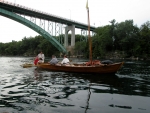
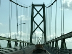
Continuing along the islands, we had glimpses of the towers of the 1000 Island Bridge that crosses at Hill Island (the Canadian side of Wellsley Island). We could also see a peculiar observation tower. Views of these came and went as we wended our way through the islands.
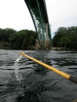
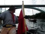
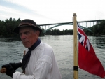
We ended up going under the bridge between Constance and Georgina Islands. There were fluky currents beneath the bridge and between the islands, so we were shunted back and forth. This took Judy by surprise in the DeSager, as she hadn’t realized the eddies would be there (I should have warned her).
The combination of Wellsley Island and Hill Island is quite long, and as the day progressed, it seemed even longer. The channel between Hill and Club Island looks inviting, but would take us out of the way. Once by Club Island, we were encouraged by seeing our destination, Grenadier Island.
It still took quite some time to row our way along the southeastern side of Grenadier Island. I was somewhat uncertain where the campground at Grenadier Island Central was located, and we nearly passed it by. We spoke to a man on the shore of a small island, and he made sure we were headed for it.
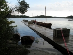
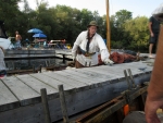
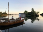
The campground at Grenadier Island Central is quite large. There is a long dock with slips on either side, a sand beach for kayaks, and numerous grassy sites for tents. We pulled into adjacent slips along the dock just after 6 p.m. A long day of rowing.
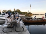
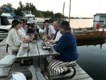
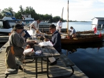
The main dock was wide enough that it had numerous picnic tables down its center. Along the dock were numerous powerboats. Their owners were at the picnic tables eating their dinners and enjoying themselves. They welcomed us warmly. A ranger had been by and told them that we were going to be arriving.
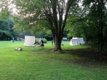
We unloaded our food stuffs to the picnic tables on the dock. We carried our tents and bedding to a grassy site. I paid the appropriate fee for campsite and dockage. I made dinner of salt beef, dried bread, and a variety of vegetables. It was okay, but only because we had been rowing all day.
We had pleasant conversations with the other boaters. One family had a young girl who happily introduced us to her cat and her dog. One couple complemented us on our camaraderie and that we worked well together without any one shirking.
Gloriously, this campsite has a bathroom with hot and cold running water. The only downside was the large population of hungry mosquitoes.
We rowed 17.8 miles or so today. Total distance so far is 36.9 miles.
Thursday, 17 August 2017 – Refugee Island, Brockville
We had what felt like a leisurely morning. We struck camp, had breakfast, and loaded the boats. We were under way a little after 8:30. Today the wind is very slightly favorable, and the current was in our favor.
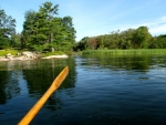
We set off from Grenadier Island, going through the passage between it and another island as we continued our way to the northeast. The water was very clear and we could frequently see weeds or rocks on the bottom.
For the first hour or so we rowed, the wind not being strong enough to be of use. There were a few clouds and plenty of sun. The wind freshened, just a little, and we hoisted the sails. I was a little concerned about the halyard, but it was fine.
With the shorter mast in the Bobbie G steering was sometimes more exciting than it should have been. Strangely, asking where things were in front of the boat did not always yield useful answers from the crew, and we had to take evasive action to avoid substantial rocks and occasional buoys.
The DeSager was sailing better than the Bobbie G, which is often the case in light airs. The short mast on the Bobbie G exacerbated this. After an hour and a half or so, Judy and Reb from the DeSager made some suggestions to trimming the rig in the Bobbie G. The net result of this was adding a bit of line to function as a more forward fairlead for the lug rig, shaping the lug better. This helped, though it wasn’t a huge change as the winds were light.
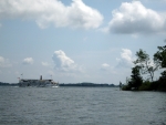
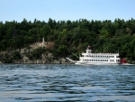
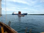
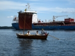
Bill had wondered why we hadn’t seen much commercial traffic up to this point. There had always been a screen of islands between the main channel and ourselves. Now there wasn’t, and we saw a handful of freighters and tankers, mostly headed upriver. Some were laden and some were empty.
We supplemented sailing with rowing when the wind wasn’t strong enough. Overall, we rowed more than we sailed. The current helped, too.
We ate lunch under way. As usual, we have an excessive amount of cheese and sausage. This trip we didn’t overstock bread to quite the degree we have in the past. If it had been cold, we’d want more of it.
The day seemed pretty hot. We were thankful when a cloud blocked the sun.
Today was a shorter day than the previous two, and we ended up amongst the Brockville Islands in early afternoon. Since we had plenty of time, my intent was to camp on the furthest northeast island that we could. I thought this would be McCoy Island, but the associated campsite dock was already filled with boats and a family was cavorting on the shore.
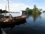
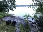
We continued on to Refugee Island, tying up on the first of two docks with the intent of taking one of the two paddle-in campsites. The closest campsite had a laminated tag claiming it was reserved. There was a further campsite, but we didn’t relish lugging our stuff to it. I paid for a site and dockage anyway. I placed our permit on the further site to make sure we’d have somewhere legal to camp, with the hope that we’d be able to use the closer site.
At the end of the dock was a boat with a couple that included the harbor master from one of the marinas in Brockville. He recommended we ask the town employees when they arrived if the closer site was actually reserved. A small work boat from the town pulled in a short time later – the workers were making the rounds to collect trash from the islands and do other necessary service. I asked about the near campsite. They radioed a coworker, who a short time later showed up. The reserved tag was a holdover from the previous weekend, and we were welcome to use the nearby campsite.
We rowed each boat to the shore at the campsite. This was too rocky to be a convenient place to leave the boats overnight, but was sufficient for offloading. We unloaded the boats very quickly – we are used to the work by this point in the trip and we didn’t have to move the gear very far.
After unloading the boats and returning them to the dock, we still had a pleasant amount of afternoon left. We gradually set up our tents, prepared dinner, and tried to dry some things out. The forecast was for rain during the night, so drying anything was not a sure bet.
Many of us swam or waded in the river to cool off and clean up. This felt wonderful after a hot sweaty day.
Dinner was ham stew – ham, potatoes, carrots, and onions. Everyone liked it well enough, even though we hadn’t worked super hard during the day.
We walked around the island some, going to bed with the sun. 15.4 miles today, for a total of around 52.3 miles.
Friday, 18 August 2017 – Prescott
It rained quite hard overnight, but since we were in our tents, we didn’t mind too much.
A slow easy start. We breakfasted on oyster hash, scrambled eggs, and bacon. We struck camp gradually. Loading the boats was the inverse of unloading them – we rowed them around to the campsite and formed a line of people to hand things in. Aside from burying the PFD bag, it all went very smoothly. We rowed the boats back to the dock and left from there.
We set off shortly after 9:30, which was late for us. Today’s forecast was for tailwinds. This combined with a strong current promised to make for an easy day. We hoisted sail as soon as we left.
We never got particularly close to Brockville. We passed it by, and soon the one tall tower receded from view.
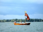
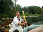
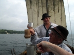
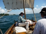
Both boats’ sails were drawing well, the wind pushing us along at a good pace. Mostly the wind was from the stern, with just a few veering gusts to keep steering a constant, active task. In these conditions the Bobbie G was slightly faster than the DeSager. We had our morning rum ration and cookies while maintaining a fine rate of travel.
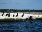
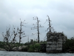
We passed a few other small islands, labeled Old Man and the Three Sisters on the chart. The Three Sisters seem very much unequal in size. On one of these were square footings from some previous structure, now abandoned and covered over with cormorants.
We passed an interesting old building in the town of Maitland. I found afterwards that it used to be a college but is now apartments.
The wind was gradually freshening. We were also very slowly increasing our distance ahead of the DeSager. The lug sail on the Bobbie G is outfitted with two rows of reef points. We had added them since a period watercolor shows them on a bateau sail. In some ways, it seemed ridiculous to have reef points on such a small sail, but we used them once before to good effect.
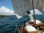
Peggy went forward to reef the sail, while Rick continued to handle the whisker boom. Peggy started in the center, reefing without taking the sail in. As she got toward the edges, she had to reach up and lean over a bit, but this was safe enough. Ideally, the clews would have been seized to the appropriate cringles, but we left them as is.
As the sail became reefed, steering became easier. Our speed abated some, and I think the DeSager started closing the gap very slowly.
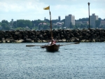
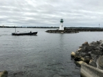
We were now on the outskirts of Prescott. We passed the boat launch in Centennial Park, then the Coast Guard yard with a ship that looked like an out-sized buoy tender. We made our way along the breakwater, then doused sail and turned in.
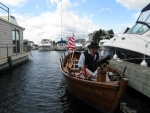
As we turned toward the Prescott Harbor, a man with a King’s Royal Ranger’s t-shirt greeted us and told us to tie up at the fuel dock for the nonce. We rowed in and were met at the dock by some young marina employees. It was around three hours from when we started, so we had averaged more than 4.5 miles per hour (which is quick for a bateau).
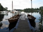
The DeSager was not far behind. They were directed to pull into a particular spot amongst the docks. Later when the harbor master determined which slips were available for the weekend, we rowed the boats to different locations.
Distance for the day, around 14.1 miles. Total distance for the trip, around 66.4 miles.
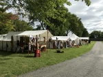
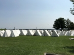
We took time to eat lunch in the shade. We checked in at the registration tent for the reenactment. Kevin managed to arrange a ride back to Kingston so we could get the vehicles.
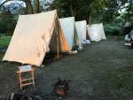
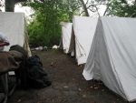
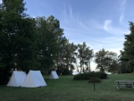
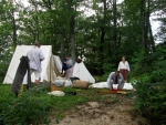
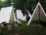
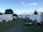
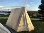
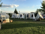
We used some hand carts to move all of our gear to our camping spot, which was in the town park just downstream of the marina. As the drivers went off to get cars and trailers, the rest of us put up the tents and gradually sorted things out. Once the drivers were back, we put up a few more tents.
We had asked a local to recommend a restaurant for dinner. Unfortunately, the pub we went to was totally unprepared for the number of people that weekend, and it was more than two hours between ordering food and being served without much apology or warning.
Saturday, 19 – Sunday, 20 August 2017
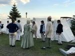
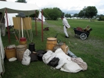
The reenactment was pleasant. They generously fed all of the reenactors. We talked to many people about the boats and our trip.
We tried to row out to participate in the Saturday afternoon battle, but the winds were stronger than on Friday. We nosed out of the harbor past the breakwater, determined that going out might result in us not getting back, and decided that discretion was the better part of valor.
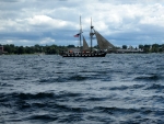
Two Canadian boats with somewhat concealed motors participated, as did the Blackjack, a small brigantine. They fired swivel guns and small cannons, which went well enough.
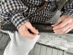
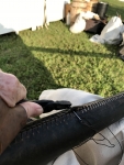
We resewed three of the oar leathers in the afternoon. Besides being necessary maintenance, this makes a good public display. I need to carry a bigger supply of needles and pliers to make this easier to do at events.
On Sunday, we took the boats out at the boat launch that was a mile up river. We did this before the afternoon winds came up. The boats on the trailers were a bigger talking point than when they were in the marina, as they were more visible.
A good trip, even if we did less at the reenactment than we might have.
